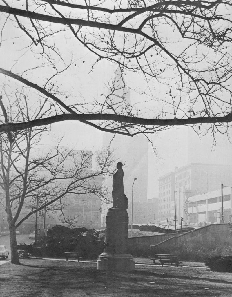
...............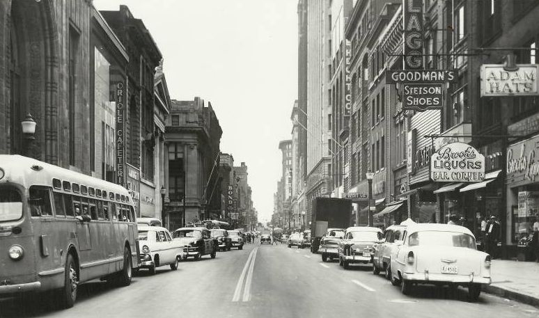 ........ ........
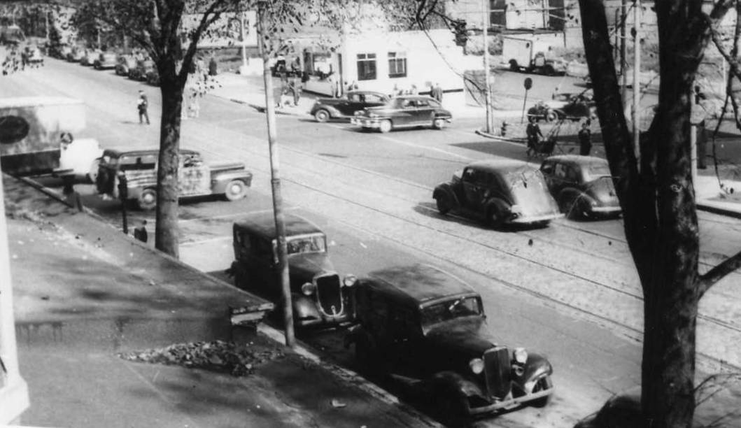
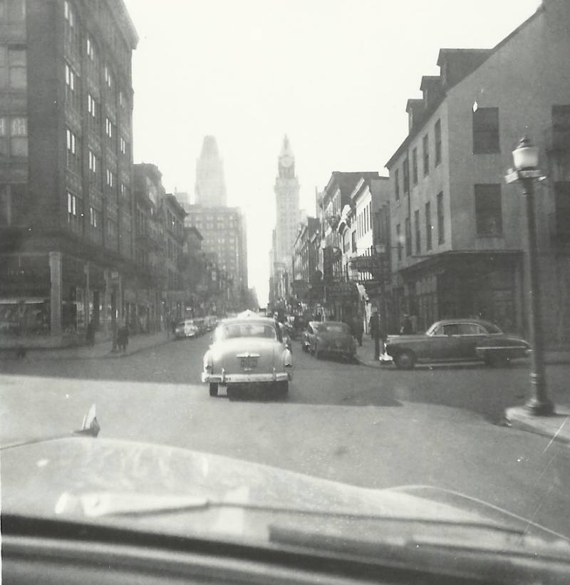
Downtown Baltimore, on
Baltimore Street back in the 1950's, during an
air raid drill.
|
...................................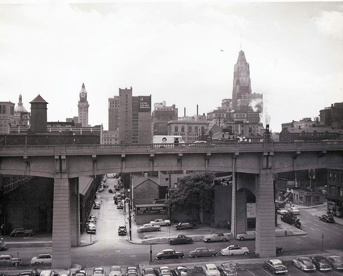
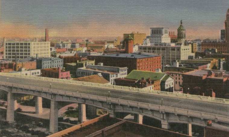
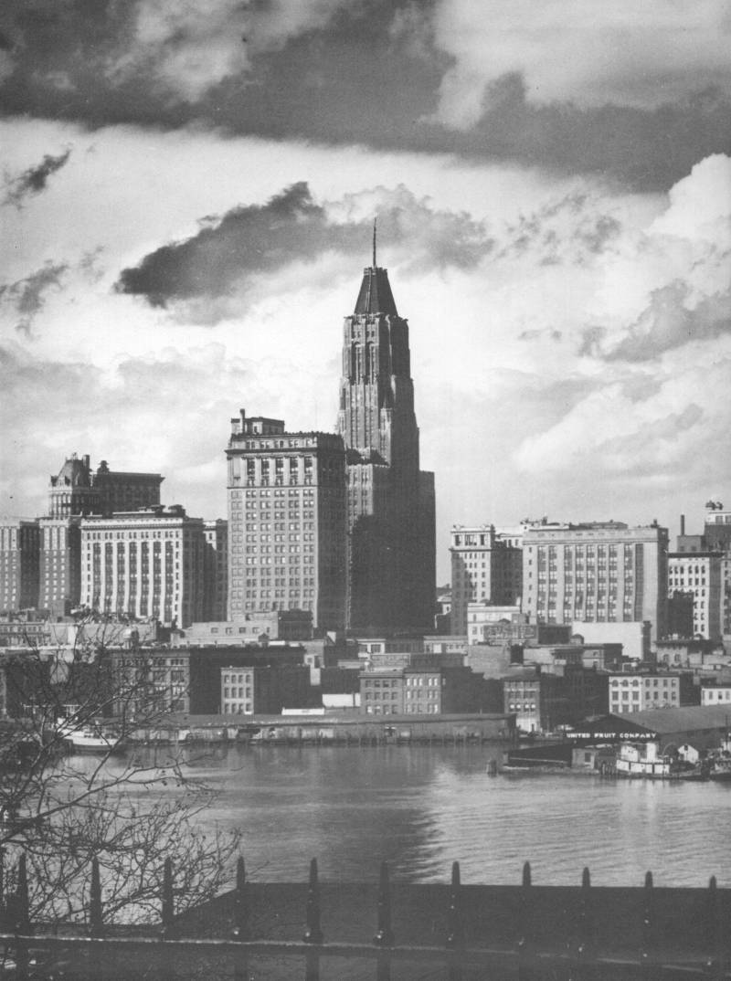
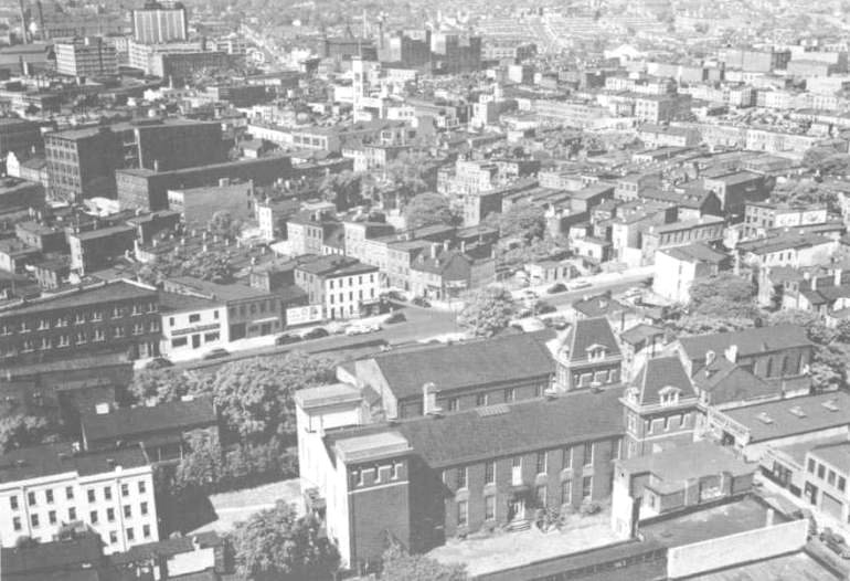
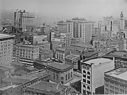
Looking south into the downtown area,
from the area of Calvert and the Orleans Street
Viaduct .(
Circa 1950's )
......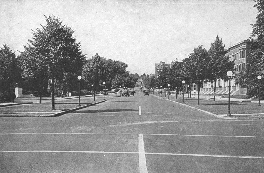
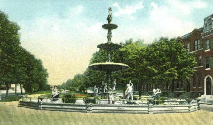
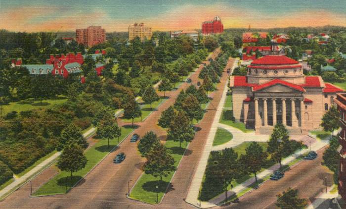
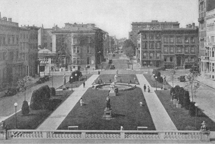
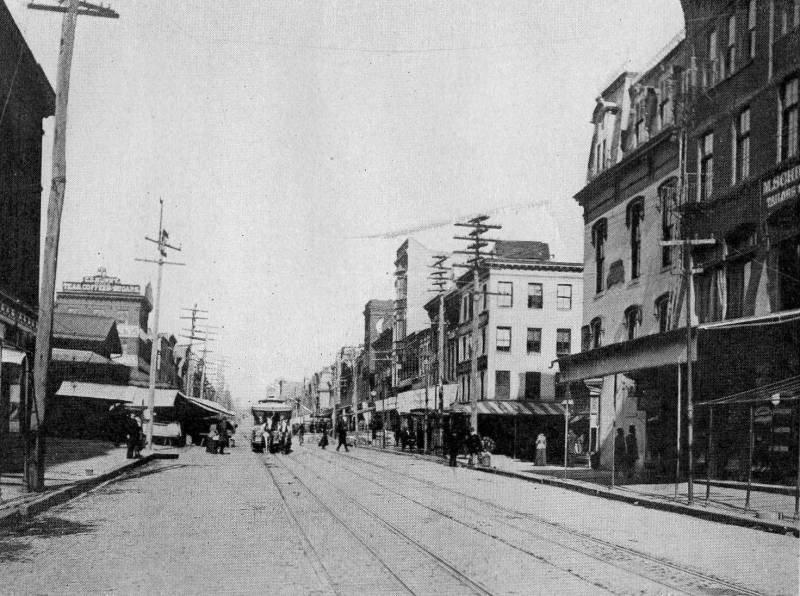
North Charles Street at
29th Street, looking North - Baltimore City
circa 1920's
|
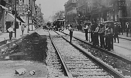
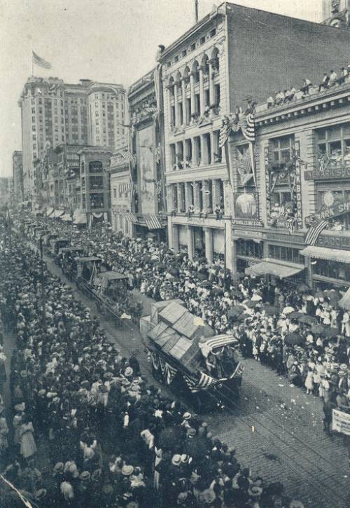
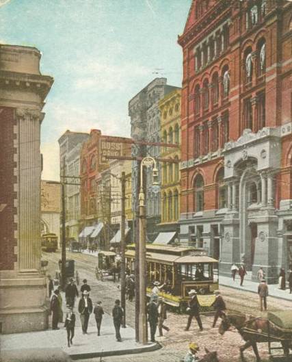
..............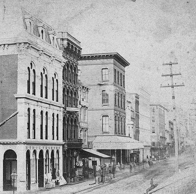
Buildings in the 400 block
of East Baltimore Street, 1880's
|
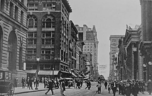
...............................................
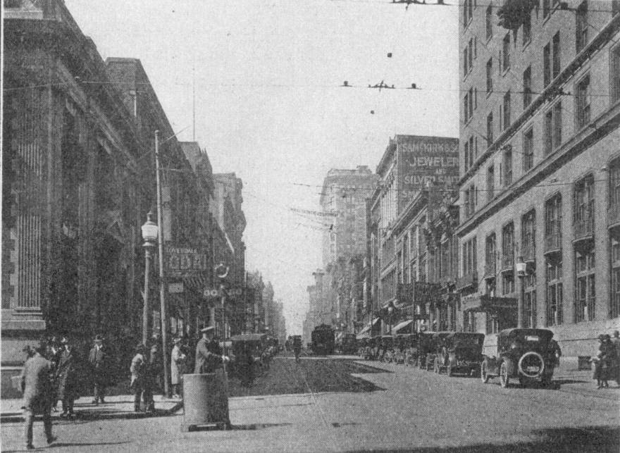
Light Street, looking south
at Baltimore Street .
|
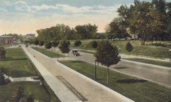
...............................
Mt Royal Avenue, looking
West from Charles Street .
|
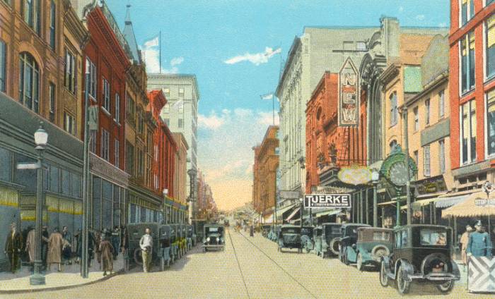
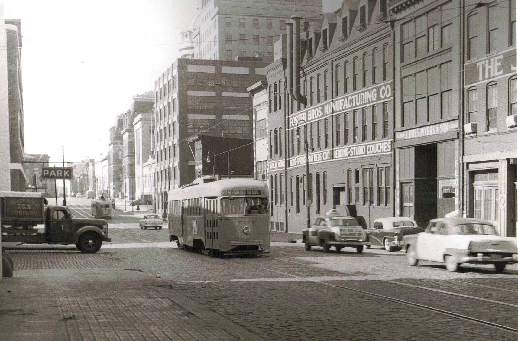
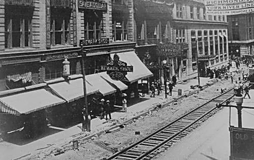
................................
West Baltimore Street - Looking East in
the area of Eutaw and Howard Streets.
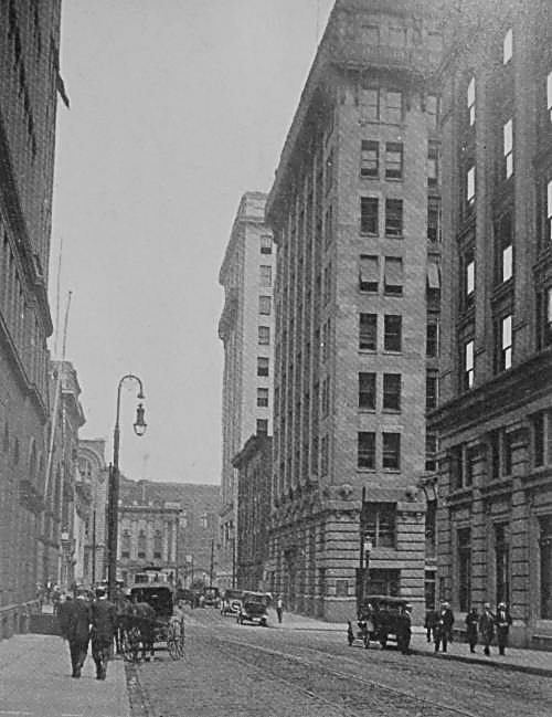
............................
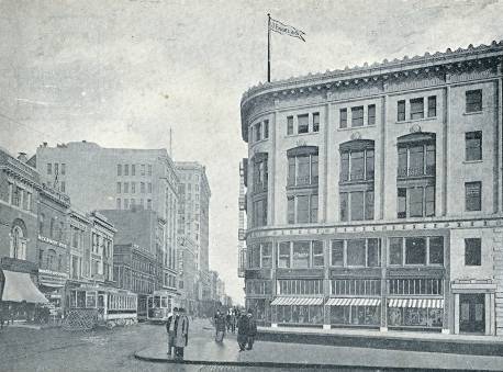
Baltimore and St Paul
Streets, looking West.
|
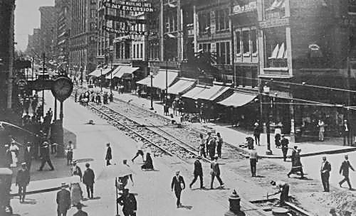
....................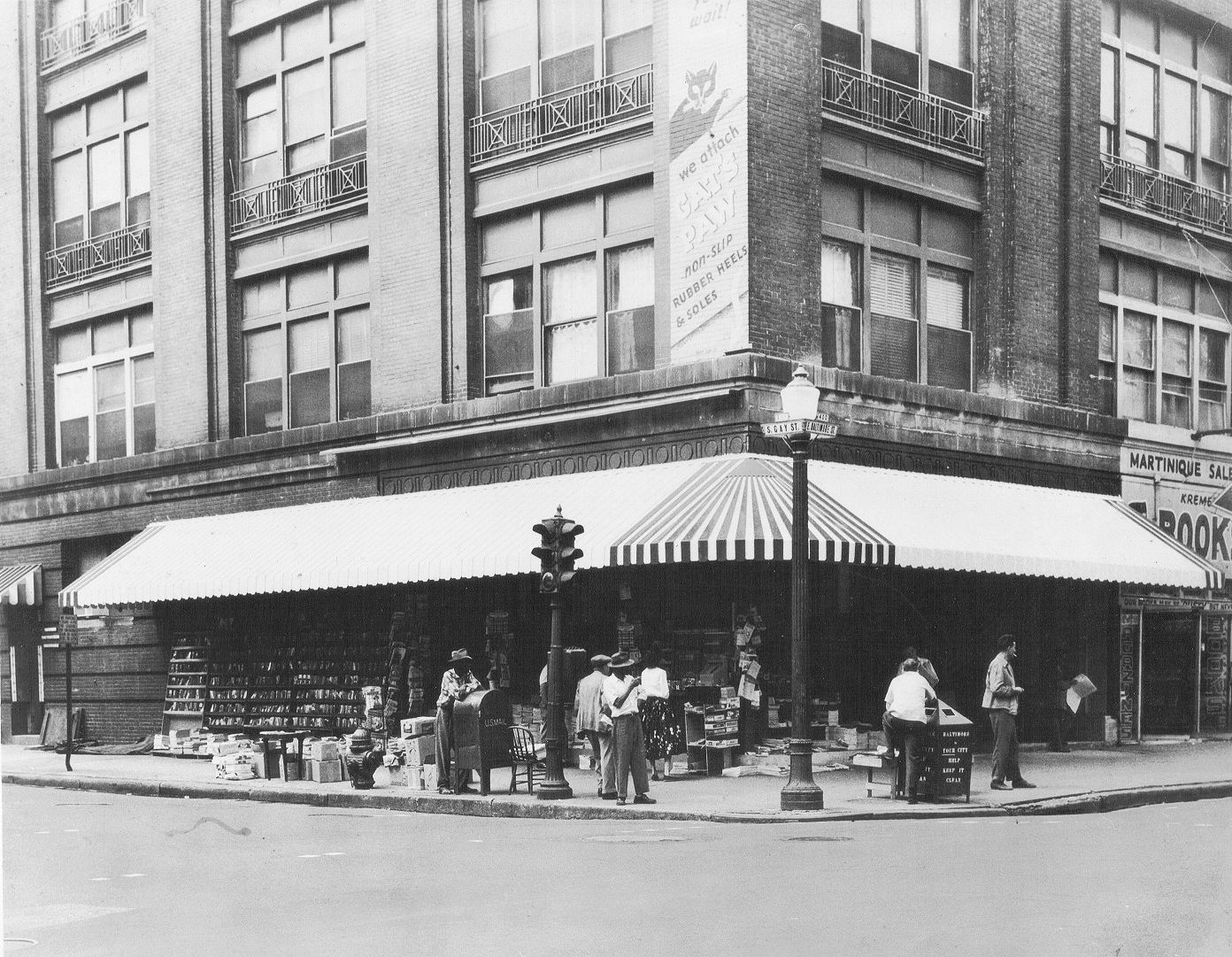
Corner of Baltimore and Gay Streets
- Downtown Baltimore.
|


 ........................................


 .....................
 ................
 ...........................


 ..........